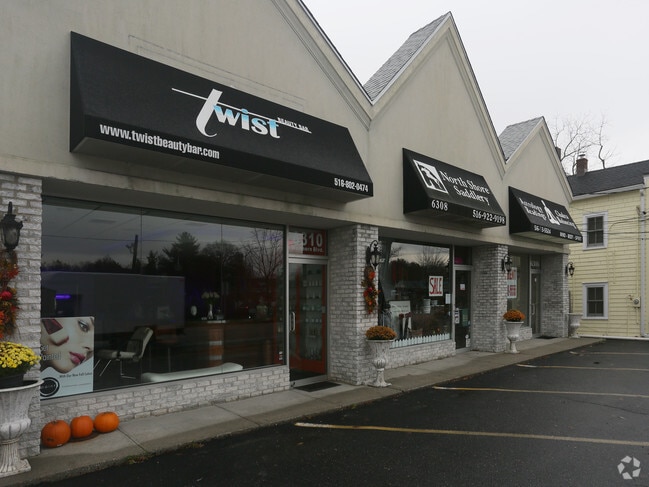
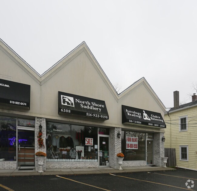
Property Record
6306 Hempstead Tpke, East Norwich, NY 11732
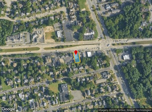
NEARBY LISTINGS FOR SALE OR LEASE
Property Detail
6306 Hempstead Tpke
2489-16-001-00-0216-0
TOWN #3 SCH DIST 008
Commercialnec
Nassau
X
New York
36059C0133G
216
2025
0.18 AC
2025
Eastern Nassau
518100
Long Island (New York)
6,000 SF
Nassau County-Suffolk County, NY
DEMOGRAPHICS near 6306 Hempstead Tpke
1 Mile
3 Mile
5 Mile
2024 Total Population
4,416
34,878
128,586
2029 Population
4,376
34,428
126,836
Pop Growth 2024-2029
(0.91%)
(1.29%)
(1.36%)
Average Age
45
42
42
2024 Total Households
1,654
11,445
41,995
HH Growth 2024-2029
(0.91%)
(1.45%)
(1.49%)
Median Household Inc
$134,375
$159,884
$147,485
Avg Household Size
2.60
2.90
2.90
2024 Avg HH Vehicles
2.00
2.00
2.00
Median Home Value
$798,853
$903,661
$815,085
Median Year Built
1963
1963
1959
Nearby Places
- Restaurants
- Banks
- Shops
- Fitness
- Groceries
PUBLIC TRANSPORTATION
COMMUTER RAIL
Oyster Bay Station (Oyster Bay Branch - Long Island Rail Road)
DRIVE
WALK
Distance
Oyster Bay Station (Oyster Bay Branch - Long Island Rail Road)
4 min
2.6 mi
Syosset Station (Port Jefferson Branch - Long Island Rail Road)
DRIVE
WALK
Distance
Syosset Station (Port Jefferson Branch - Long Island Rail Road)
6 min
3.5 mi
AIRPORT
LaGuardia
DRIVE
WALK
Distance
LaGuardia
36 min
23.0 mi
John F Kennedy International
DRIVE
WALK
Distance
John F Kennedy International
38 min
24.8 mi
Westchester County
DRIVE
WALK
Distance
Westchester County
65 min
41.9 mi
Freight Ports
NY - Red Hook Container Terminal
DRIVE
WALK
Distance
NY - Red Hook Container Terminal
47 min
31.1 mi
Nearby Properties
Address
Land Use
TOTAL SIZE
Lot Size
Zoning
Address
Land Use
TOTAL SIZE
Lot Size
Zoning
175,272 SF
209.20 AC
Address
Land Use
TOTAL SIZE
Lot Size
Zoning
178,486 SF
53.25 AC
Address
Land Use
TOTAL SIZE
Lot Size
Zoning
23,629 SF
44.63 AC
Address
Land Use
TOTAL SIZE
Lot Size
Zoning
800 SF
45.25 AC
Address
Land Use
TOTAL SIZE
Lot Size
Zoning
300,526 SF
44.30 AC
Address
Land Use
TOTAL SIZE
Lot Size
Zoning
105.79 AC
Address
Land Use
TOTAL SIZE
Lot Size
Zoning
75,253 SF
44.28 AC
Address
Land Use
TOTAL SIZE
Lot Size
Zoning
160 SF
241.23 AC
Address
Land Use
TOTAL SIZE
Lot Size
Zoning
3,020 SF
46.45 AC
Address
Land Use
TOTAL SIZE
Lot Size
Zoning
8.59 AC
Address
Land Use
TOTAL SIZE
Lot Size
Zoning
2,555 SF
284.67 AC
Address
Land Use
TOTAL SIZE
Lot Size
Zoning
534,840 SF
26.15 AC
Address
Land Use
TOTAL SIZE
Lot Size
Zoning
29,574 SF
174.23 AC
Address
Land Use
TOTAL SIZE
Lot Size
Zoning
6,702 SF
35.04 AC
Address
Land Use
TOTAL SIZE
Lot Size
Zoning
159,471 SF
28.50 AC
Address
Land Use
TOTAL SIZE
Lot Size
Zoning
66,061 SF
18.79 AC
Address
Land Use
TOTAL SIZE
Lot Size
Zoning
83.59 AC
Address
Land Use
TOTAL SIZE
Lot Size
Zoning
28,537 SF
5.21 AC
Address
Land Use
TOTAL SIZE
Lot Size
Zoning
147,175 SF
10.28 AC
Address
Land Use
TOTAL SIZE
Lot Size
Zoning
43.21 AC
Address
Land Use
TOTAL SIZE
Lot Size
Zoning
260,315 SF
16.60 AC
Address
Land Use
TOTAL SIZE
Lot Size
Zoning
3,960 SF
39.54 AC
Address
Land Use
TOTAL SIZE
Lot Size
Zoning
5,380 SF
17.21 AC
Address
Land Use
TOTAL SIZE
Lot Size
Zoning
18,430 SF
31.94 AC
Address
Land Use
TOTAL SIZE
Lot Size
Zoning
112,297 SF
6.21 AC
Address
Land Use
TOTAL SIZE
Lot Size
Zoning
3,600 SF
32.85 AC
Address
Land Use
TOTAL SIZE
Lot Size
Zoning
31,172 SF
1.49 AC
Address
Land Use
TOTAL SIZE
Lot Size
Zoning
16.15 AC
Address
Land Use
TOTAL SIZE
Lot Size
Zoning
204,240 SF
11.81 AC
Address
Land Use
TOTAL SIZE
Lot Size
Zoning
14.90 AC
The World's #1 Commercial Real Estate Marketplace
Connect with us
© 2025 CoStar Group
The information above has been obtained from sources believed reliable. While we do not doubt its accuracy we have not verified it and make no guarantee, warranty or representation about it. It is your responsibility to independently confirm its accuracy and completeness. Any projections, opinions, assumptions, or estimates used are for example only and do not represent the current or future performance of the property. The value of this transaction to you depends on tax and other factors which should be evaluated by your tax, financial, and legal advisors. You and your advisors should conduct a careful, independent investigation of the property to determine to your satisfaction the suitability of the property for your needs.